Nicolet-Yamaska RCM: Integrating Biodiversity and Ecosystem Services into Land Use Planning
An innovative approach to supporting the region's ecological transition
In 2019, the Nicolet-Yamaska RCM became the first RCM in Quebec to adopt an Ecological Transition Plan (ETP), thereby affirming its role as a pioneer in sustainable land use planning and climate change resilience. This plan aims to guide municipal decision-making in order to preserve natural resources, enhance residents’ quality of life, and promote sustainable land use.
In this context, Habitat commissioned to conduct an ecological assessment of the region in order to better understand the role of natural habitats in maintaining biodiversity, providing essential ecosystem services, and adapting to climate change.
Gaining a Better Understanding of the Strategic Value of Natural Environments
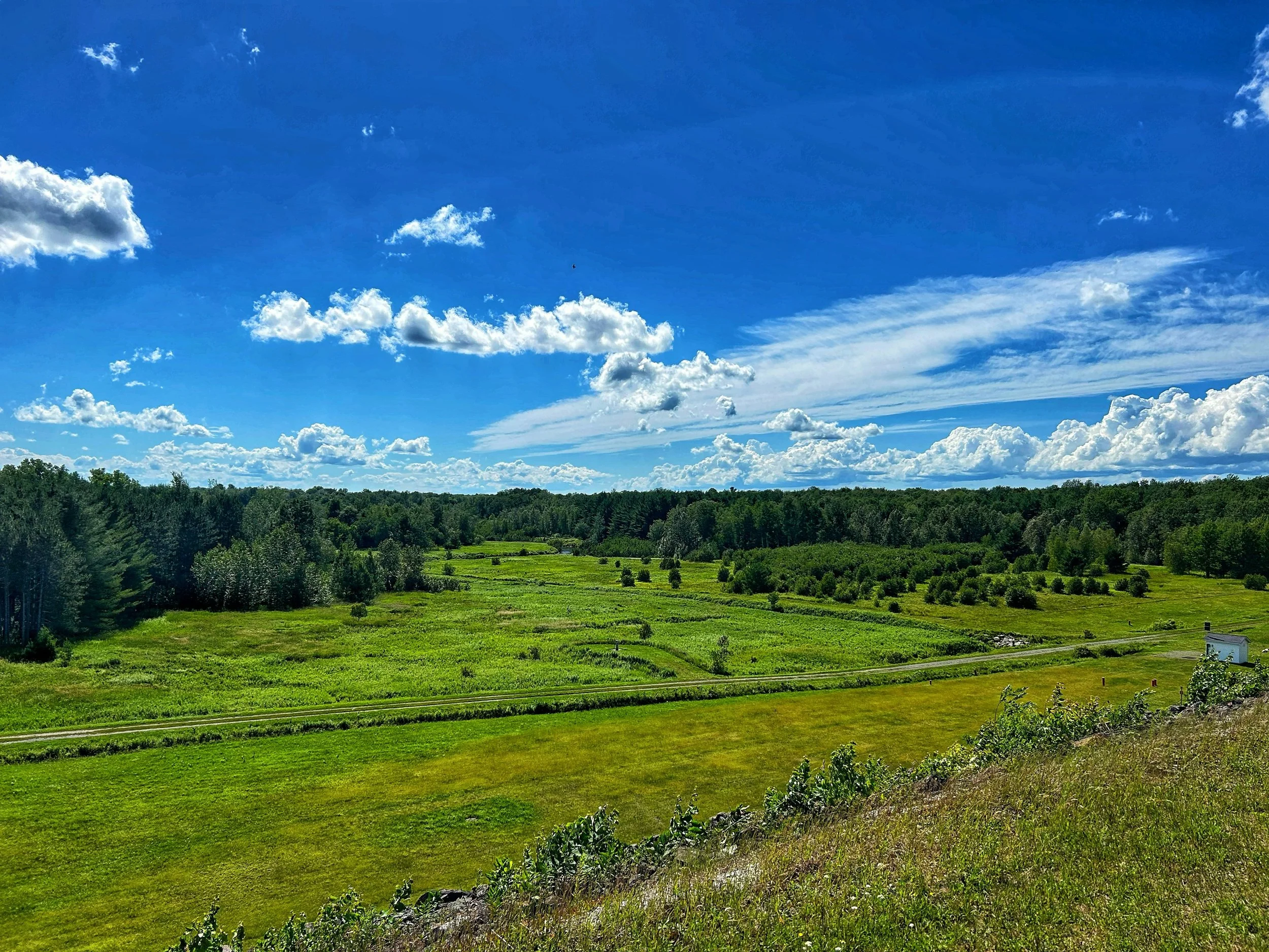
Natural environments provide essential services to communities on a daily basis, yet their contribution is often not fully taken into account in decision-making processes.
The study assessed several key ecosystem services, including:
carbon capture and storage;
reducing soil erosion;
the retention of nutrients before they are released into waterways;
water quality control;
the preservation of wildlife habitats;
ecological connectivity between natural core areas.
This approach has made it possible to produce a detailed map of the area’s ecological value and to identify the sectors that contribute most significantly to the MRC’s environmental resilience.

Our team modeled three potential development scenarios (status quo, compensation, and renaturalization) to compare the gains and losses associated with different land use strategies. Under the status quo, the land in 2070 would experience a net loss of services due to the loss of natural areas to development.
Only through significant restoration efforts (Scenario 3)—including the conversion of agricultural land into forested areas— would it be possible to improve the provision of ecosystem services, the level of connectivity, and the resilience of natural areas.
Analyzing ecological connectivity to enhance biodiversity
Habitat fragmentation is one of the main threats to biodiversity.
To guide conservation efforts, two ecological connectivity analyses were conducted to identify:
priority ecological corridors;
the most important biodiversity hotspots;
areas critical for maintaining wildlife movement;
areas where restoration efforts could improve connectivity within the region.
This information provides municipal managers with practical tools for integrating biodiversity issues into land-use planning exercises, the revision of land-use plans, development projects, and conservation initiatives.
Assessing the vulnerability of natural environments to climate change
In addition to their current ecological value, natural habitats were also analyzed in terms of their vulnerability.
This approach was designed to identify the sectors most likely to be affected by future pressures, including:
climate change;
habitat fragmentation;
human-induced disturbances;
pressures related to land development.
The analysis identified areas requiring special protective measures, as well as sectors where ecological restoration efforts could enhance the long-term resilience of ecosystems.
A multi-criteria approach to guide municipal decision-making
One of the main advantages of this approach is the integration of multiple ecological indicators into a single spatial analysis.
By cross-referencing data on ecological services, connectivity, and the vulnerability of natural environments, the MRC now has a decision-making tool that enables it to:
to prioritize the sectors that need protection;
to identify opportunities for ecological restoration;
to support climate transition planning;
to direct municipal investments toward initiatives that yield the greatest environmental benefits;
to strengthen the coherence between regional development, conservation, and climate adaptation.
This approach directly contributes to the ecological transition goals pursued by the MRC and provides a concrete framework for integrating biodiversity into planning decisions.
Knowledge put into action
Beyond the results and figures presented, this study highlights the importance of gaining a better understanding of the role of each type of natural habitat within a region and identifying those that are essential to maintaining ecological integrity and ecosystem health.
Areas with lower ecological value may also present strategic opportunities for restoration, particularly depending on their location, their connectivity potential, and local environmental issues.
The multi-criteria approach developed as part of this project enables an integrated view of the region and helps maximize the positive impacts of conservation and restoration efforts. It provides municipalities with practical tools to identify priority areas, strengthen the resilience of their communities, and support an ecological transition based on the best available knowledge.
Would you like to better incorporate biodiversity into your planning decisions?
Municipalities and regional county municipalities (RCMs) face growing challenges related to the conservation of natural environments, climate change adaptation, and sustainable land management.
Habitat municipal organizations in developing ecological profiles, connectivity analyses, ecological service assessments, conservation plans, and ecological transition strategies tailored to their specific circumstances.
Contact our team to learn how ecological data can support your planning, climate resilience, and sustainable development goals.